• Twitter
  • RSS
  • info@gio.ga.gov
Georgia Geospatial Information Office
  • About
    • What We Do
    • Who We Are
  • State Imagery Program
    • FAQ
    • General Program Information
  • News
  • Communities
    • Georgia Geospatial Association
    • Georgia GIS Community Map
    • GeoTAC
  • Info
    • Contact
    • Jobs
    • Library
Select Page

Projects

Learn more about the activities and initiatives of the GIO.
Georgia State Lidar Program

Georgia State Lidar Program

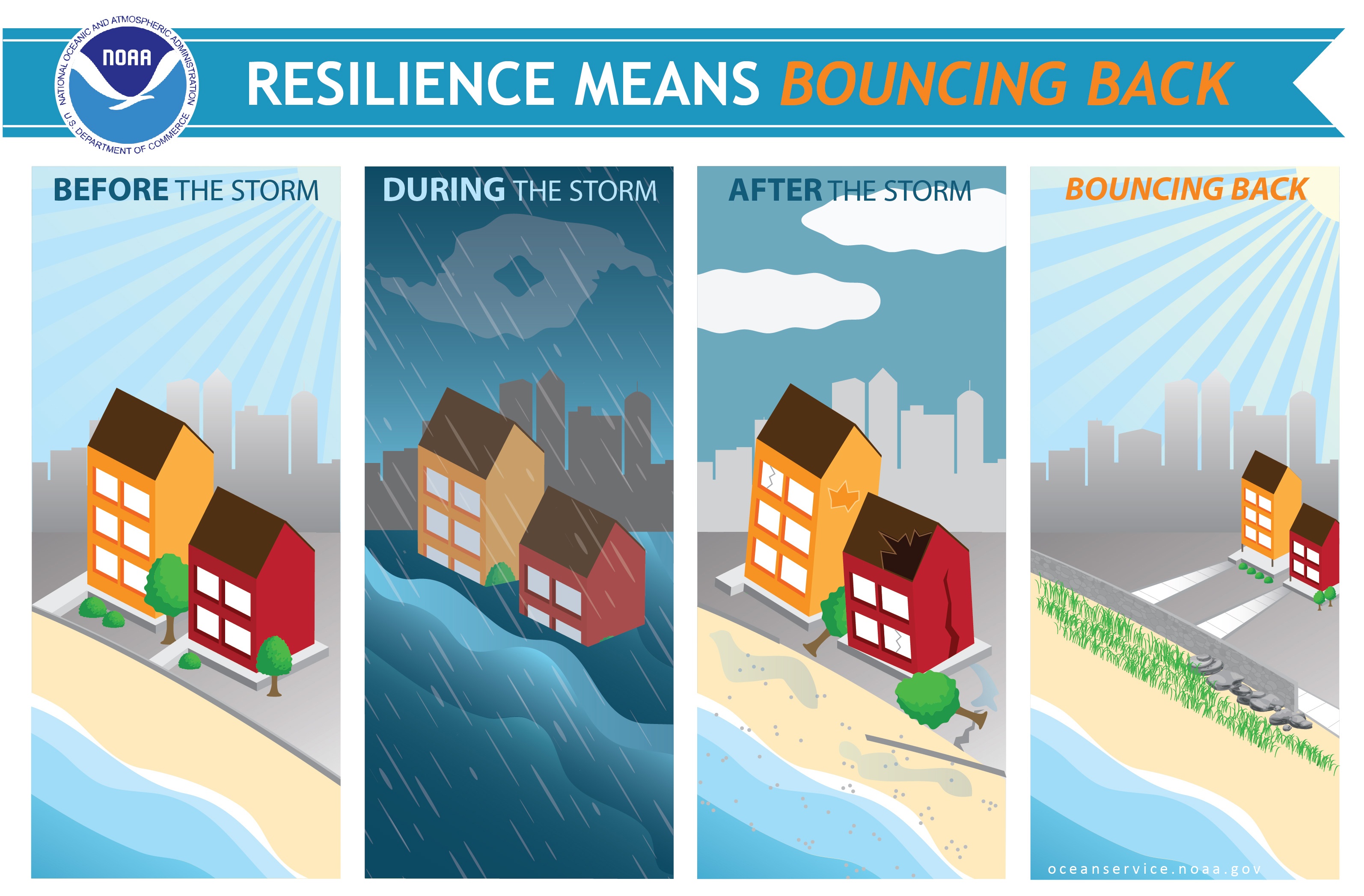
A Regional Approach to Coast–Wide Resiliency Planning

A Regional Approach to Coast–Wide Resiliency Planning

County Risk Assessments in support of GEMA Hazard Mitigation

County Risk Assessments in support of GEMA Hazard Mitigation
Contact

Geospatial Information Office
60 Executive Park South NE
Atlanta, Georgia 30329
Email

Recent News

  • MGRC seeking GIS Analyst (closed as of 6/11/2025) March 26, 2025
  • SGRC seeking GIS Analyst February 25, 2025

Quick Links

  • GIO Data Hub
  • GIO NG911 Data Hub
  • Job Opportunities
  • Read and Submit Success Stories
  • State Imagery Program
  • Site Map
  • Text Only Site
  • Disclaimer
  • Privacy Policy
  • Twitter
  • RSS
© 2020 Georgia Geospatial Information Office | Site Design by MGRC

Accessibility Bar

    • visibility_offDisable flashes

    • titleMark headings

    • settingsBackground Color

    • zoom_outZoom out

    • zoom_inZoom in

    • remove_circle_outlineDecrease font

    • add_circle_outlineIncrease font

    • spellcheckReadable font

    • brightness_highBright contrast

    • brightness_lowDark contrast

    • format_underlinedUnderline links

    • font_downloadMark links

    • Reset all optionscached

    • Accessibility Light