Jul 25, 2018 | GIO News, GIO Projects
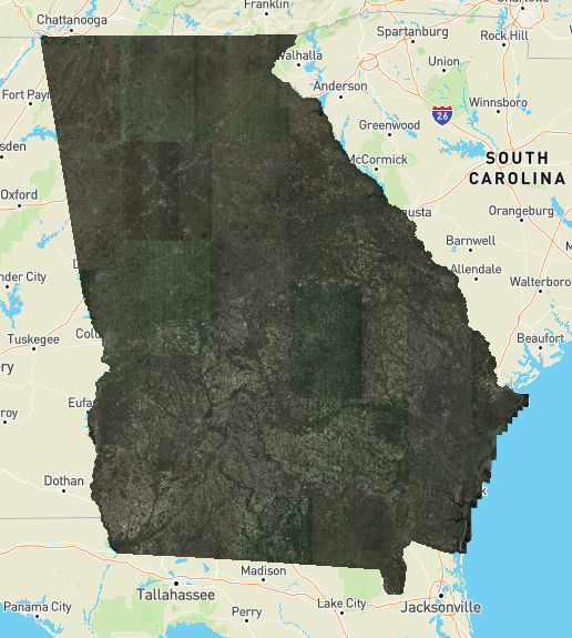
Earlier this year, the Geospatial Information Office (GIO) made available a high-resolution aerial imagery map service (Imagery Service) for all government employees in the State of Georgia. We noted that a feature would soon be released to grant imagery access to...
Mar 22, 2018 | GIO News, GIO Projects
To All Georgia Government: Many of us use aerial imagery in our daily lives whether looking up directions or exploring our neighborhood from above. The Georgia Geospatial Information Office (GIO) is excited to announce access to statewide, high resolution (six-inch)...


