

High-resolution Statewide Imagery Now Available to all Georgia Government Employees
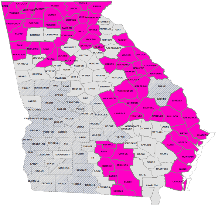
To All Georgia Government: Many of us use aerial imagery in our daily lives whether looking up directions or exploring our neighborhood from above. The Georgia Geospatial Information Office (GIO) is excited to announce access to statewide, high resolution (six-inch)...
Georgia Awarded Multi-Million Dollar Grant for High-Precision Elevation Data
Atlanta, GA (January 10, 2018) – The State of Georgia has been awarded a United States Geological Survey (USGS) 3D Elevation Program grant for the acquisition of elevation data for 67 Georgia counties — over one third of the State. The total commercial value...GIO Plays Key Role in Helping Georgia Acquire Highly-Accurate Elevation Data
Atlanta, GA (January 10, 2017) – The Georgia Geospatial Information Office (GIO) secured a grant from the U.S. Geological Survey (USGS) to help Georgia acquire highly accurate digital elevation data. The effort brought together State and Federal partners to maximize...GIO Introduced to GIS Coordinating Committee
August 19, 2015 – Atlanta, GA – Susan Miller, Georgia’s first Geospatial Information Officer, was introduced to the Georgia Geographic Information Systems (GIS) community at the regular monthly meeting of the GIS Coordinating Committee. Ms. Miller...
GARC Selects Susan Miller as GIO
The Georgia Association of Regional Commissions announces the selection of Susan Miller as the State’s first Geospatial Information Officer (GIO).